
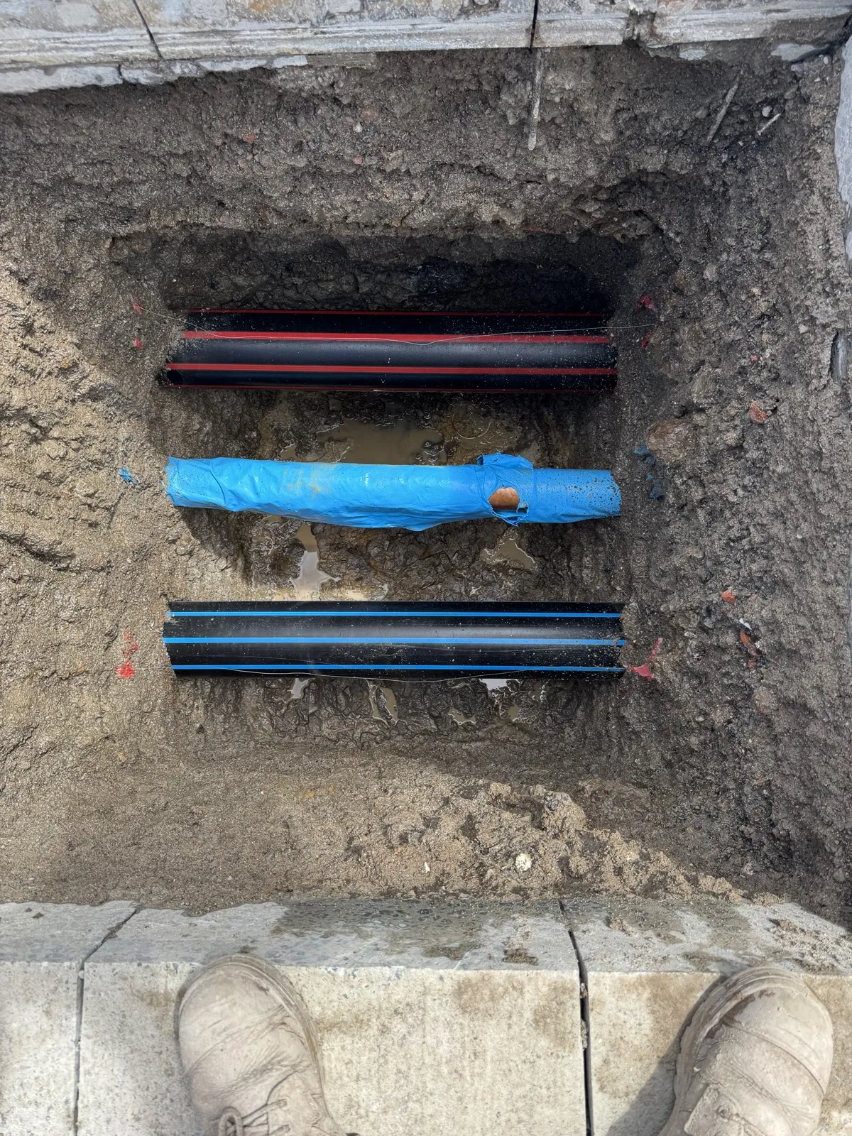
Service locating and service proving are not the same step, and treating them as interchangeable is a common way a Sydney excavation plan runs into a service it did not expect. Locating indicates where a service is likely to be. Proving physically exposes it so the actual position and depth can be seen.
Utility exposure is the general term for the second step, and it is usually delivered as hydro-vac potholing. This guide sets out what each step actually confirms, how they line up against the AS5488 quality-level framework, and how a civil supervisor or project manager decides which one a specific stage of work needs.
Quick answer
Locating detects and marks an interpreted alignment. Proving physically exposes the service to confirm it. Most Sydney projects near known or suspected services need both, at different stages.
What is service locating?
Service locating starts with a desktop review of current plans and asset-owner information, then uses a geophysical detection method, typically an electromagnetic locator or ground-penetrating radar, to trace the likely path of a buried service. The output is a marked alignment on the surface.
- A desktop check of current plans, asset-owner responses, and any prior markings.
- An on-site detection pass using electromagnetic or ground-penetrating radar equipment suited to the likely service type and ground conditions.
- Surface marking of the interpreted alignment, usually to the relevant colour convention.
- A record of what was and was not detectable with the method used.
Locating narrows down where a service probably runs. It does not physically confirm the exact position or depth, and detection can be affected by ground conditions, service material, and depth. Where a decision depends on the exact position, the next step is proving.
What is service proving, and how is it different?
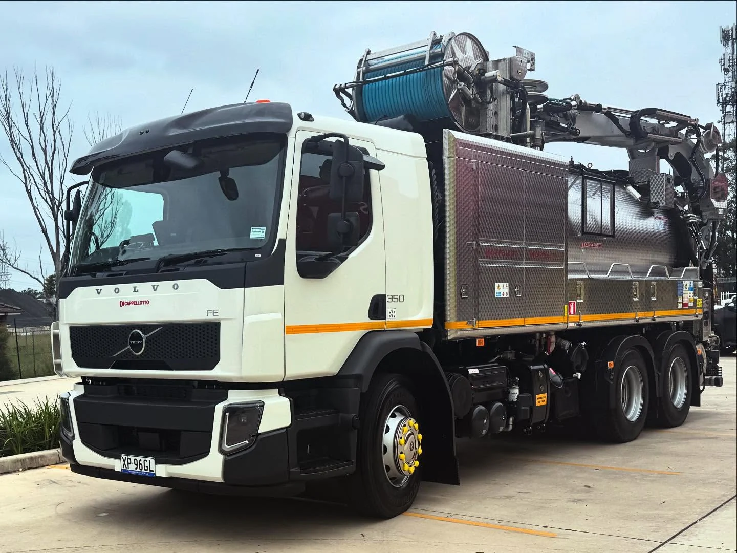
Service proving, also called utility exposure, physically exposes a short section of the service so the project team can see its actual position and depth rather than an interpreted one. On an EIRE job this is delivered as hydro-vac potholing: controlled water loosens the soil and a vacuum hose recovers the loosened material.
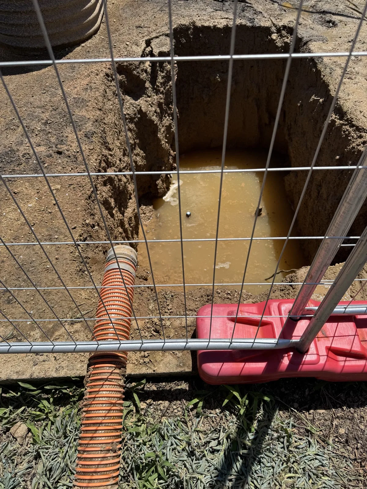
- Whether the service is actually present at the exposed point.
- The confirmed depth and position at that exact location, not the wider route.
- Whether the planned crossing, trench, or drilling path needs to be adjusted.
- Whether more exposure points are needed before the route is accepted.
SafeWork NSW’s Excavation Work Code of Practice notes that available underground-service information may not be accurate and describes exposing a short section using water pressure and a vacuum system as an initial examination method, used when a service’s location cannot be determined exactly.
For a broader look at how the exposure step fits alongside the wider excavation method, see how vacuum excavation works or the detailed guide to utility potholing.
How AS5488 quality levels line up with each step
AS5488 classifies subsurface utility information into four quality levels, A to D, based on how the information was obtained. It is common reference language between clients, locators, and contractors on Sydney projects, so it helps to know which step produces which level.
- Quality Level D: existing records only, such as asset-owner plans, without on-site verification.
- Quality Level C: a site survey of visible surface features, such as pits, valves, or meter boxes.
- Quality Level B: geophysical detection, the outcome of service locating, giving an interpreted rather than confirmed position.
- Quality Level A: physical exposure, the outcome of service proving or potholing, giving the highest confidence position and depth at that exact point.
This is a general summary drawn from the published AS5488 excerpt, not the full standard. Confirm the exact quality level a specific project, asset owner, or engineer requires before relying on locating alone.
How locating and proving fit together on a Sydney site
Most Sydney projects near known or suspected services use both steps at different stages. Locating narrows down where a service is likely to run across the wider site. Proving then physically confirms the position at the specific points where the next stage of work depends on knowing it exactly.
- Locating alone may be enough for general awareness across a wide area before detailed planning starts.
- Proving is typically needed at exact crossing points, tie-ins, drilling or boring paths, and anywhere the consequence of hitting a service is high.
- Some asset owners, engineers, or councils require a specific quality level, such as physical exposure, before excavation proceeds near their asset — confirm the requirement for the specific project rather than assuming one exposure covers the whole route.
- A single proving point confirms only that point. A wider route with several critical crossings usually needs more than one exposure.
Planning a Sydney excavation?
Work out whether you need locating, proving, or both
Send the current plans, markings, target crossing points, and access photos. We can review whether hydro-vac proving is needed before the next stage starts.
What should be confirmed before booking either service?
Booking information should make clear whether the site needs detection and marking, physical exposure, or both. That distinction affects the equipment, crew, and time required.
- Site address, contact person, preferred timing, and the next work stage the result will support.
- Current plans, asset-owner responses, and any markings already in place.
- Whether the requirement is locating, proving, or both, and how many exposure points are expected if proving is needed.
- Wide photos of the work area, truck position, and complete hose route for any proving work.
- Traffic, pedestrian, noise, work-hour, and site-control requirements.
- The expected handover, such as inspection access, measurements, or project photographs.
Frequently asked questions about service locating and proving
What is the difference between service locating and service proving? Locating uses detection methods to indicate or interpret where a service runs and marks that alignment. Proving physically exposes the service so its actual position and depth can be seen. Locating estimates; proving confirms.
What are the different types of service locating? Locating typically combines a desktop review of current plans and asset-owner responses with an on-site detection method, most commonly electromagnetic or ground-penetrating radar, followed by marking the interpreted alignment.
What does AS5488 quality level B mean? Quality Level B is geophysical detection, the outcome of service locating, treated as an interpreted rather than confirmed position. Quality Level A, the highest level, comes from physical exposure through service proving.
Need locating confirmed with physical proving?
Eire Vacuum Services provides hydro-vac service proving and utility exposure in Sydney for the points where a project needs a confirmed position, not an interpreted one. The clearest enquiry includes the current plans and markings, target exposure points, access photos, truck position, and hose route.
Ready to confirm the exposure?
Send the site details before the crew arrives
Call now, or send the current plans, markings, access photos, and target exposure points so the team can assess the proving setup.
This article is general information, not site-specific safety, engineering, or legal advice. The relevant duty holders remain responsible for the work plan, current service information, competent people, and required controls.